
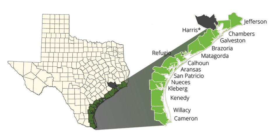
Harris County

Additional information on the adoption of the 2024 building codes.
View legacy catastrophe area county maps for the 2003 and 2006 building codes.
This product is for informational purposes and is not prepared for or suitable for legal, engineering, or surveying purposes. It does not represent an on-the-ground survey and represents only the approximate relative location of property boundaries.
The Texas Department of Insurance produces maps for general informational use only. No warranty is made by TDI regarding specific accuracy or completeness. It is the user's responsibility to verify all data represented in the maps.